 The archived ramblings of my time as a world traveler up to my current life in Washington, D.C.
more pics
They are overdue, I suppose - photos from our trip around the North Island in April and early May: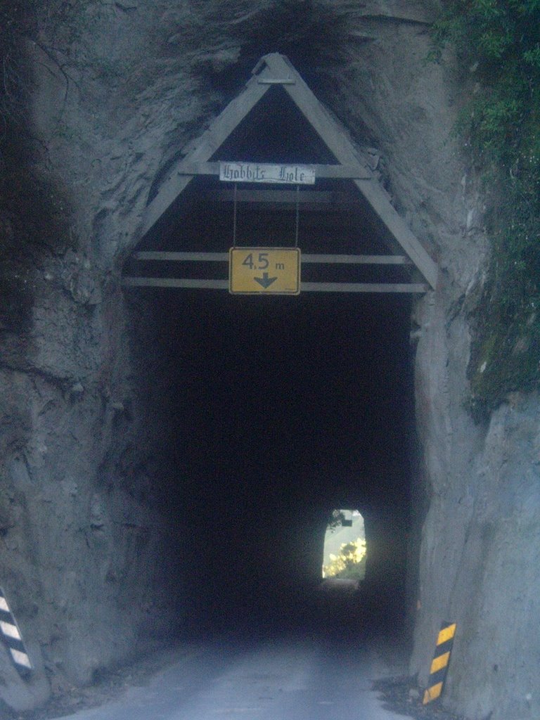
A tunnel at the beginning of a long side trip we took on a gravel road through the mountins off the "Forgotten Road Highway" heading east from Mt. Taranaki. The one-lane tunnel is nicknamed "The Hobbit Hole."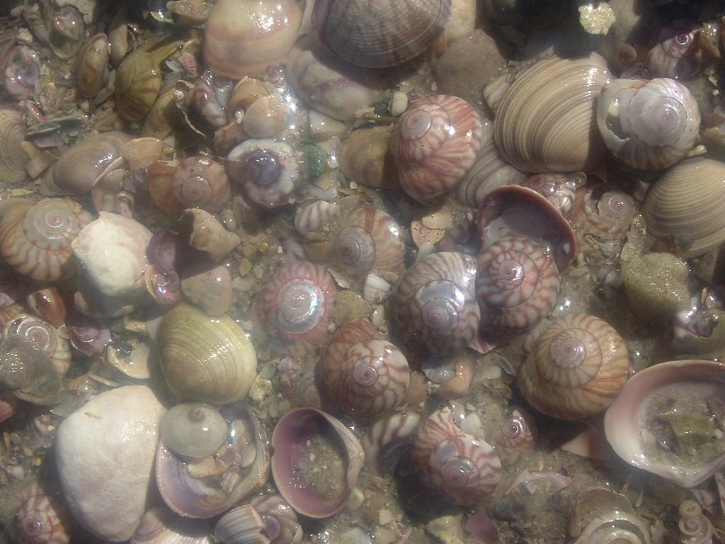
Shells on a northern beach.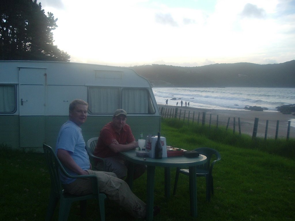
Our friend Andrew and the beach where he put us up.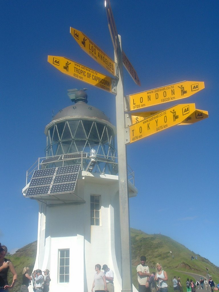
The lighthouse at Cape Reinga, top of the North Island.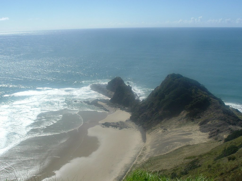
The tip of New Zealand.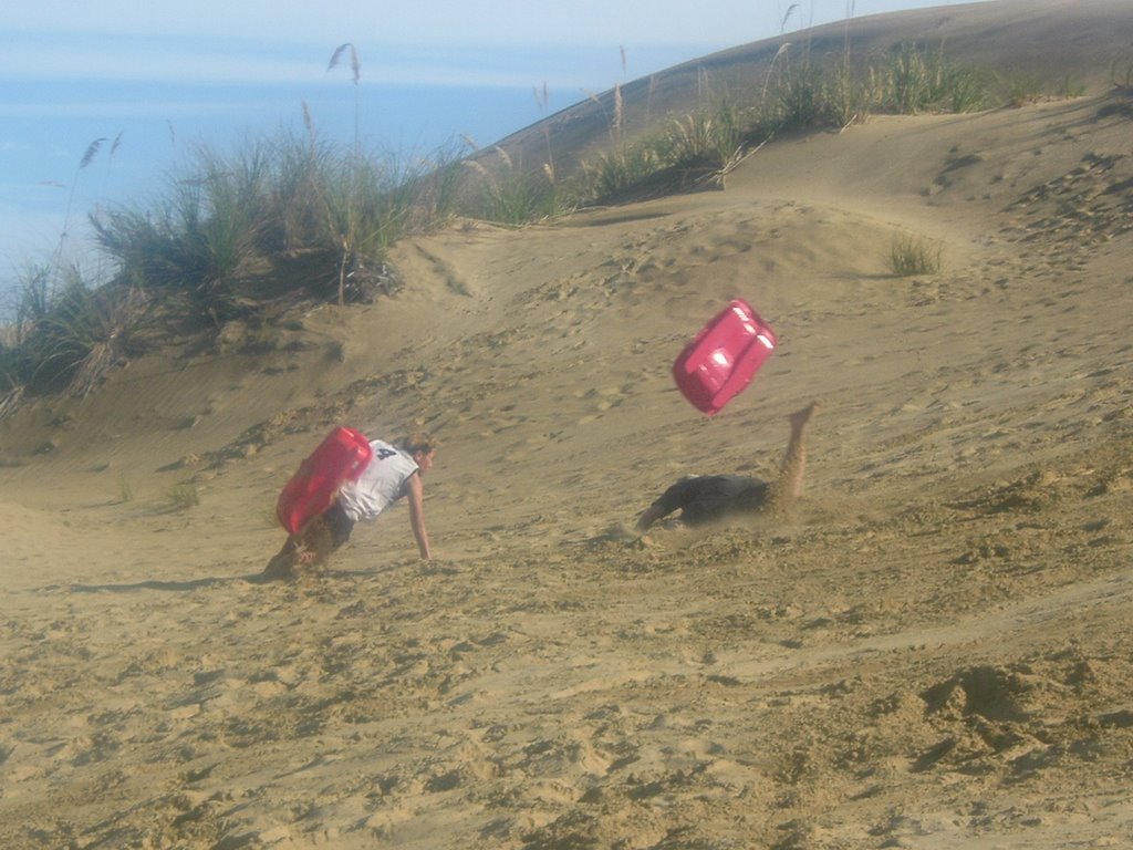
I'm the one facedown after trying to sled down a giant sand dune on the 90-mile beach, a long beach (but not actually 90 miles long) running down the west coast of the northern tip of New Zealand. As you'll see later, the beach also serves as a highway with it's hard-packed sand.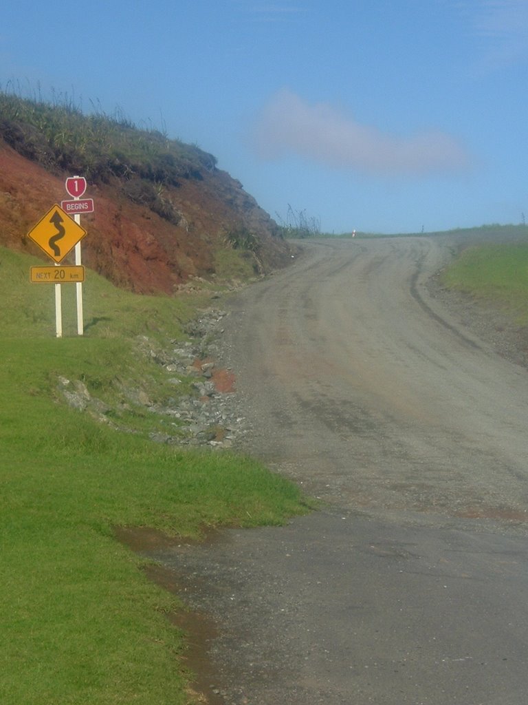
This is the start of New Zealand's State Highway 1, the main artery of the country. For the first 20 kilometers, it's a gravel road.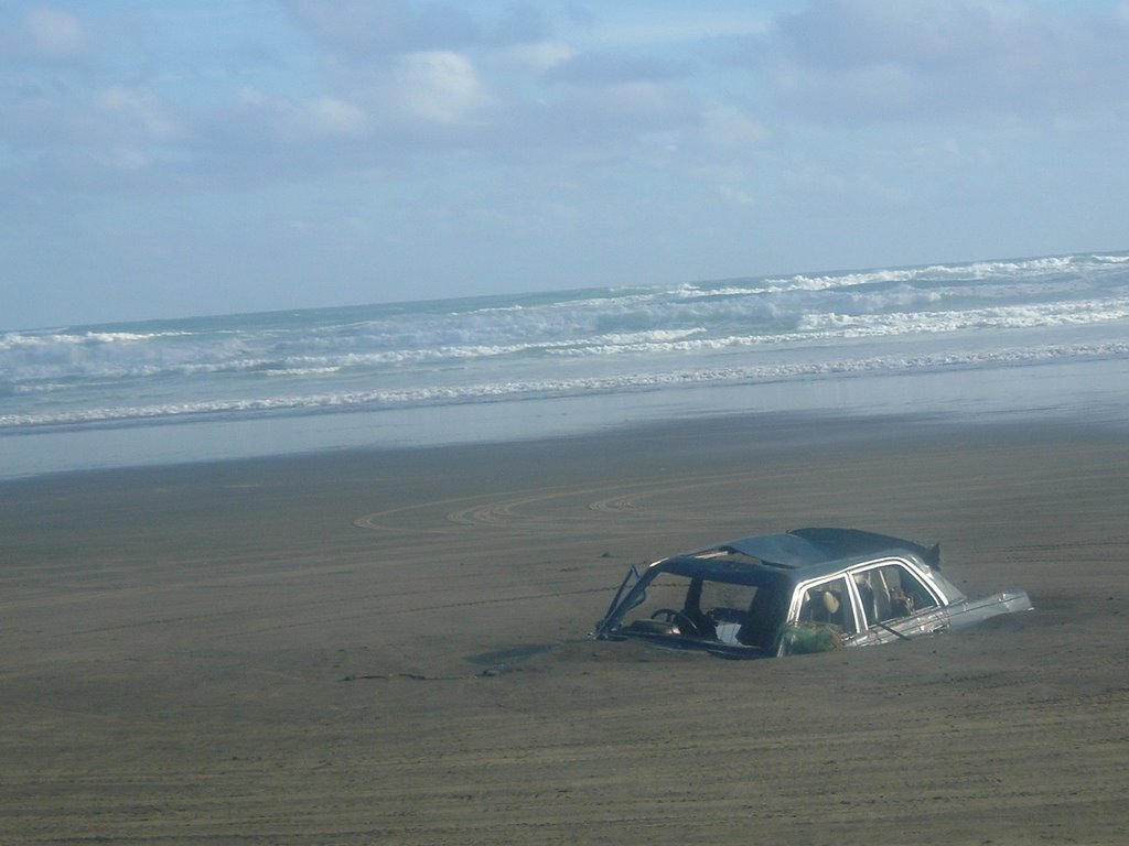
Someone who tried to use the 90-mile beach as a road and didn't quite make it all the way. Supposedly this car had only been on the beach for about six weeks. However, every day buses go up and down the beach (this photo was taken from a bus window). The secret is to know the tide times and not get caught in the water.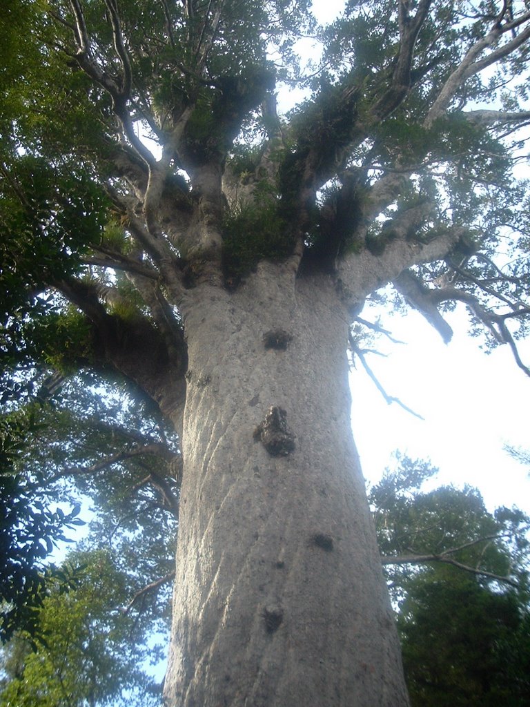
Tane Mahuta, the largest Kauri tree in New Zealand. It's similar in size to the California Redwoods, although not quite as tall.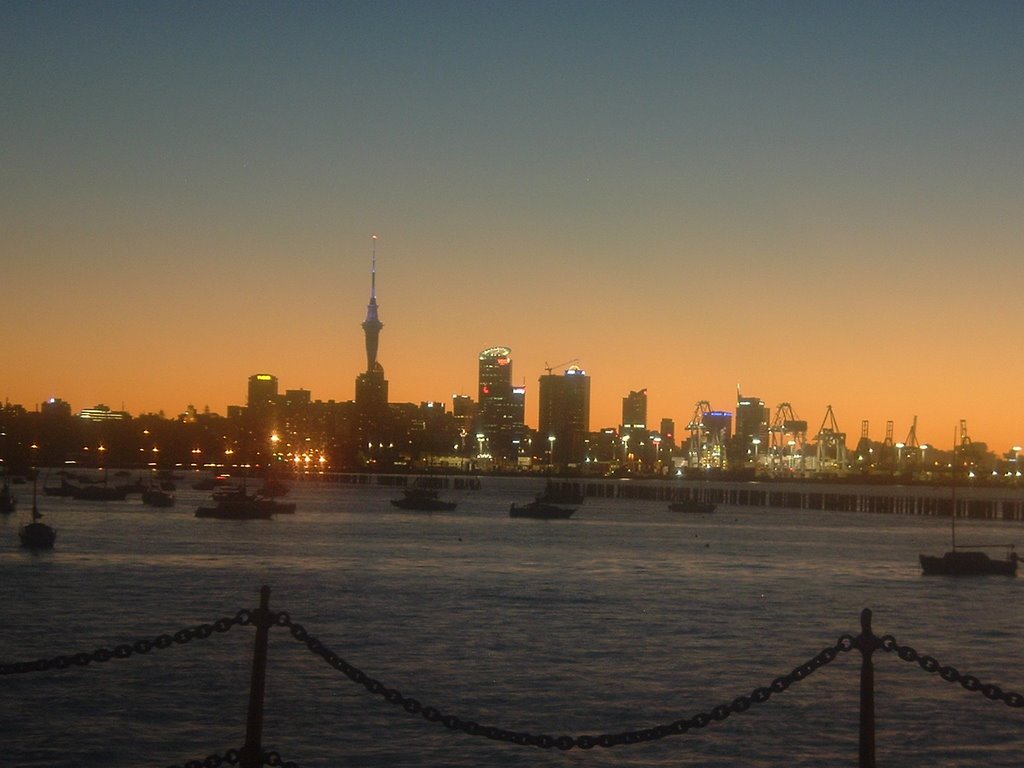
The Auckland skyline at dusk.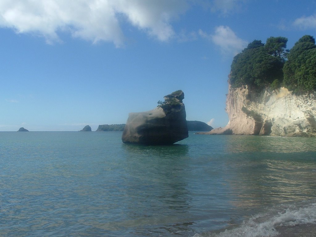 Cathedral Cove.
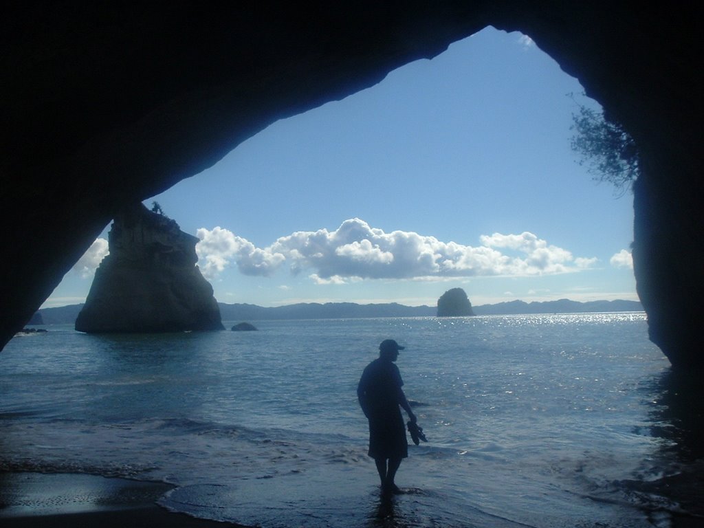
Me at Cathedral Cove, on the east side of the Coromandel Peninsula on the North Island. This was our last day of the road trip. The beach, one that we'd seen many times before in tourism photos without realizing where it was, is secluded at the end of a 45-minute walk. That day was warm - people were wearing swimsuits and bikinis. Two days later we were in Wellington, where we couldn't go out without coats.
![]()

No comments:
Post a Comment